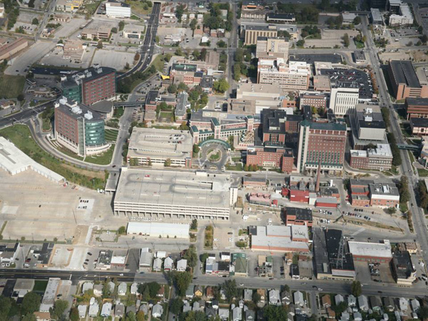
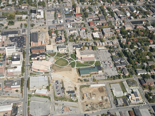
Check out these two aerial photos of the UNMC campus. The first photo is of the west side of campus and the second is the east end, or “academic campus.”
 |
 |
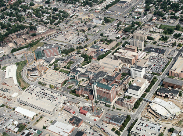
Now for a bit of contrast, look below at an aerial shot from 2007. Note that construction had just started on the Durham Research Center II and was still underway at the Sorrell Center.
The photo cuts off at the east end of the Sorell Center as ground had yet to break on east campus features such as the Harold M. and Beverly Maurer Center for Public Health or the Center for Nursing Science. What a difference four years makes, huh?
 |
I started working at UNMC in 1990 and the amount of change is incredible. I would be really be interested in seeing an arial photo from that era. At that time much of the academic end was made up of houses.
Hey Deb et al, read the UNMC History 101 piece on Tuesday to see other aerial photos from different times.
Thanks!